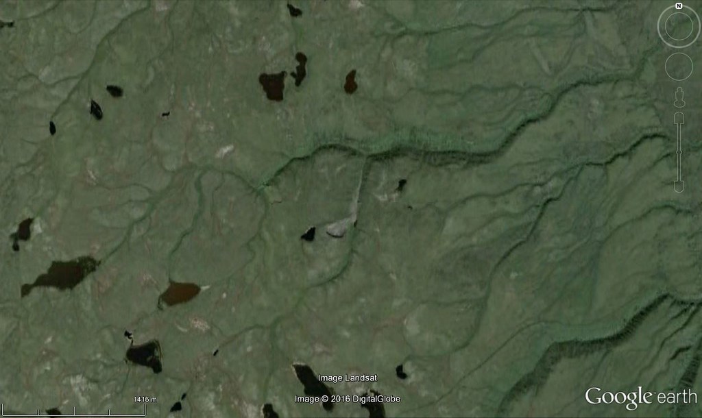
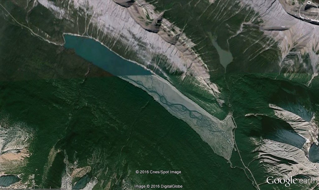
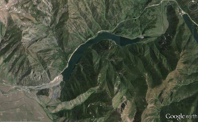
Paul posted a picture of Sedona, Arizona in the USA for us in contest 535.
The red colours in the picture led me to the southwest US, and quickly I was able to identify the location of the image as the town and surrounding of the picturesque town of Sedona.
http://www.arizonaruins.com/sedona/sedona_geology.html has lots of information about the geology of this part of the world.
This contest has a interesting feature to help the searchers narrow down the location.
Rules, tips and previous WoGEs are collected by Felix on his blog and a KML file is available with all WoGEs.
The Schott rule is in place for this contest. Posted at 1920 UTC, February 24th, 2016
Wednesday 24 February 2016
Monday 22 February 2016
Where on Google Earth #534
Paul took us to Iceland and the mid-Atlantic Ridge in Þingvellir National Park for contest 533.
Þingvellir is notable for its unusual tectonic and volcanic environment in a rift valley.
The continental drift between the North American and Eurasian Plates can be clearly seen in the cracks or faults which traverse the region, the largest one, Almannagjá, being a veritable canyon. This also causes the often measurable earthquakes in the area.
Some of the rifts are full of clear water. One, Nikulásargjá, is better known as Peningagjá (lit. "coin fissure"), as its bottom is littered with coins. After being bridged in 1907 for the occasion of the visit of King Frederick VIII of Denmark, visitors began to throw coins in the fissure, a tradition based on European legends.
https://en.wikipedia.org/wiki/%C3%9Eingvellir
For contest 534, we stay in a green part of the world.

Go here for a larger image.
Rules, tips and previous WoGEs are collected by Felix on his blog and a KML file is available with all WoGEs. Schott rule applies for this contest (1 hour for every previous win)
Posted at 0455 UTC February 24, 2016.
Þingvellir is notable for its unusual tectonic and volcanic environment in a rift valley.
The continental drift between the North American and Eurasian Plates can be clearly seen in the cracks or faults which traverse the region, the largest one, Almannagjá, being a veritable canyon. This also causes the often measurable earthquakes in the area.
Some of the rifts are full of clear water. One, Nikulásargjá, is better known as Peningagjá (lit. "coin fissure"), as its bottom is littered with coins. After being bridged in 1907 for the occasion of the visit of King Frederick VIII of Denmark, visitors began to throw coins in the fissure, a tradition based on European legends.
https://en.wikipedia.org/wiki/%C3%9Eingvellir
For contest 534, we stay in a green part of the world.

Go here for a larger image.
Rules, tips and previous WoGEs are collected by Felix on his blog and a KML file is available with all WoGEs. Schott rule applies for this contest (1 hour for every previous win)
Posted at 0455 UTC February 24, 2016.
Sunday 21 February 2016
Where on Google Earth #532
Paul Voestermans, a first time winner in WOGE, gave us an image showing Mount Eiger in Switzerland. I was lucky to recognize the terrain as on the northern edge of the Alps and then it was a matter of hunting down the exact location.
Mount Eiger has been the site of many deaths of climbers trying to ascend the steep north face, and also the location of many rockfalls over the years. The last major one was in July 2006, when a chunk of rock as big as a skyscraper fell. (http://www.nature.com/news/2006/060717/full/news060717-3.html)
For the next contest, we go somewhere a bit drier.
Go to https://c2.staticflickr.com/2/1585/25155533286_64514bf60a_b.jpg for a larger image
Rules, tips and previous WoGEs are collected by Felix on his http://woge-felix.blogspot.ca/ blog and a KML file is available with all WoGEs. Schott rule applies for this contest (1 hour for every previous win)
Posted at 0025 UTC February 22, 2016.
Wednesday 17 February 2016
Where On Google Earth #529
WOGE 528 was quite easy to solve - the problem for me as a non-geologist was to identify the geological feature at this location.
Luckily Google was able to help me out with a link to a Scientific American blog (http://blogs.scientificamerican.com/history-of-geology/january-11-1771-the-birthday-of-lake-alleghe/) with details on the catastrophic landslide event that occurred in January 1771, and resulted in Lake Alleghe forming in this location.
Click here for a bigger image
Subscribe to:
Posts (Atom)


