Thursday, 31 March 2016

Where On Google Earth #550

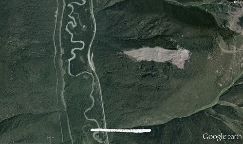
Ole's latest image (#549: http://overburdenblog.blogspot.ca/2016/03/where-on-google-earth-549.html) was a puzzle for a little while, especially with the rotation of the image. But once I figured out which way was up, the scoured valley to the south led me to search for glaciers that collapsed, releasing a large quantity of water. Google identified one such location as the Kokla Glacier in Ossetia, Russia - looking around there gave me the answer I was looking for.

The webpage at http://earthobservatory.nasa.gov/Features/Kolka/ has lots of information on what happened in this event back in September 2002.

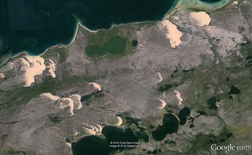
Contest #550 - credits are obliterated as they lead right to the location:


Click here for a larger image.

Previous WoGEs are collected by Felix on his blog and a KML file.

No Schott rule this time.

Tuesday, 29 March 2016

WOGE #548 - second attempt

Second attempt - after I managed to pick a location already played back in December 2010 in contest 241: http://woge-felix.blogspot.ca/2010/12/where-on-google-earth-241.html!

After my long hunt for black lava and cinder cones that took much of the Easter weekend, 547 from Paul (http://wogepaulvoestermans.blogspot.ca/2016/03/where-on-google-earth-547-in-woge-546.html) was an easier one for me. The red colour was easier to see on Google Earth, and after search Utah and Arches National Park, I moved south to Australia. There I found Kata Tjuta or The Olgas, located just to the west of Uluru.

From Wikipedia (https://en.wikipedia.org/wiki/Kata_Tjuta): Kata Tjuta, sometimes written Tjuṯa (Kata Joota), and also known as Mount Olga (or colloquially as The Olgas), are a group of large domed rock formations or bornhardts located about 365 km (227 mi) southwest of Alice Springs, in the southern part of the Northern Territory, central Australia. Uluru, 25 km (16 mi) to the east, and Kata Tjuta / Mount Olga form the two major landmarks within the Uluru-Kata Tjuta National Park.

The 36 domes that make up Kata Tjuta / Mount Olga cover an area of 21.68 km2 (8.37 sq mi), are composed of conglomerate, a sedimentary rock consisting of cobbles and boulders of varying rock types including granite and basalt, cemented by a matrix of sandstone.

The highest point, Mount Olga, is 1,066 m (3,497 ft) above sea level, or approximately 546 m (1,791 ft) above the surrounding plain (198 m (650 ft) higher than Uluru).

Here is my second attempt to find a unique location for 548:

Go here for a bigger version: https://c2.staticflickr.com/2/1451/25849202990_7c61d84599_o.jpg

Rules, tips and previous WoGEs are collected by Felix on his http://woge-felix.blogspot.ca/ blog and a KML file is available with all WoGEs, currently as far as 542.

No Schott rule this time - to give the geologists another chance to wrest the game away from the non-geologists!

Monday, 28 March 2016

WOGE #548

After a long hunt for black lava and cinder cones that took much of the Easter weekend, 547 from Paul (http://wogepaulvoestermans.blogspot.ca/2016/03/where-on-google-earth-547-in-woge-546.html) was an easier one for me. The red colour was easier to see on Google Earth, and after search Utah and Arches National Park, I moved south to Australia. There I found Kata Tjuta or The Olgas, located just to the west of Uluru.

From Wikipedia (https://en.wikipedia.org/wiki/Kata_Tjuta): Kata Tjuta, sometimes written Tjuṯa (Kata Joota), and also known as Mount Olga (or colloquially as The Olgas), are a group of large domed rock formations or bornhardts located about 365 km (227 mi) southwest of Alice Springs, in the southern part of the Northern Territory, central Australia. Uluru, 25 km (16 mi) to the east, and Kata Tjuta / Mount Olga form the two major landmarks within the Uluru-Kata Tjuta National Park.

The 36 domes that make up Kata Tjuta / Mount Olga cover an area of 21.68 km2 (8.37 sq mi), are composed of conglomerate, a sedimentary rock consisting of cobbles and boulders of varying rock types including granite and basalt, cemented by a matrix of sandstone.

The highest point, Mount Olga, is 1,066 m (3,497 ft) above sea level, or approximately 546 m (1,791 ft) above the surrounding plain (198 m (650 ft) higher than Uluru).[1] Kata Tjuta is located at the eastern end of the Docker River Road.

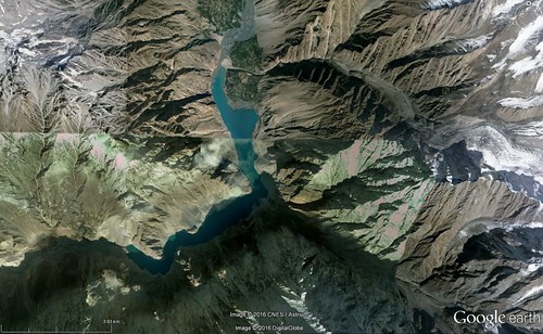
Contest #548 is not red, but shades of blue, green and beige.
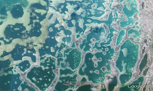


Go here for a bigger version: https://c2.staticflickr.com/2/1563/26037026881_f48206c0c0_o.jpg

Rules, tips and previous WoGEs are collected by Felix on his http://woge-felix.blogspot.ca/ blog and a KML file is available with all WoGEs.

No Schott rule this time - to give the geologists a chance to wrest the game away from the non-geologists!
Tuesday, 22 March 2016

Where on Google Earth #544

Felix provided us with an interesting location that initially had me hunting in the Northern Hemisphere for many days before reassessing the shadow pattern and moving south. It was luck that ended up with me scanning South Africa for a circular pattern with small towns along the northern edge.

I hope that 544 provides an interesting search.


Go to https://c2.staticflickr.com/2/1660/25866274252_fc5ea95fa9_b.jpg for a larger image

Rules, tips and previous WoGEs are collected by Felix on his http://woge-felix.blogspot.ca/ blog and a KML file is available with all WoGEs. Schott rule applies for this contest (1 hour for every previous win)

Posted at 1545 UTC March 22, 2016.

Wednesday, 24 February 2016

Where on Google Earth #536

Paul posted a picture of Sedona, Arizona in the USA for us in contest 535.

The red colours in the picture led me to the southwest US, and quickly I was able to identify the location of the image as the town and surrounding of the picturesque town of Sedona.

http://www.arizonaruins.com/sedona/sedona_geology.html has lots of information about the geology of this part of the world.

This contest has a interesting feature to help the searchers narrow down the location.


Rules, tips and previous WoGEs are collected by Felix on his blog and a KML file is available with all WoGEs.

The Schott rule is in place for this contest. Posted at 1920 UTC, February 24th, 2016

Monday, 22 February 2016

Where on Google Earth #534

Paul took us to Iceland and the mid-Atlantic Ridge in Þingvellir National Park for contest 533.

Þingvellir is notable for its unusual tectonic and volcanic environment in a rift valley.

The continental drift between the North American and Eurasian Plates can be clearly seen in the cracks or faults which traverse the region, the largest one, Almannagjá, being a veritable canyon. This also causes the often measurable earthquakes in the area.

Some of the rifts are full of clear water. One, Nikulásargjá, is better known as Peningagjá (lit. "coin fissure"), as its bottom is littered with coins. After being bridged in 1907 for the occasion of the visit of King Frederick VIII of Denmark, visitors began to throw coins in the fissure, a tradition based on European legends.

https://en.wikipedia.org/wiki/%C3%9Eingvellir

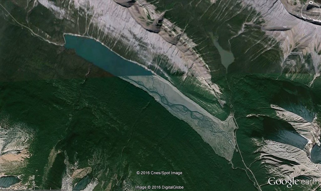
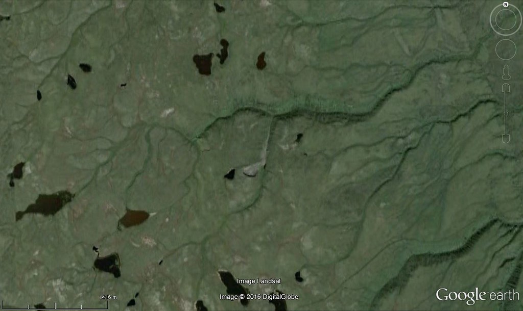
For contest 534, we stay in a green part of the world.


Go here for a larger image.

Rules, tips and previous WoGEs are collected by Felix on his blog and a KML file is available with all WoGEs.  Schott rule applies for this contest (1 hour for every previous win)

Posted at 0455 UTC February 24, 2016.

Sunday, 21 February 2016

Where on Google Earth #532

Paul Voestermans, a first time winner in WOGE, gave us an image showing Mount Eiger in Switzerland.  I was lucky to recognize the terrain as on the northern edge of the Alps and then it was a matter of hunting down the exact location.

Mount Eiger has been the site of many deaths of climbers trying to ascend the steep north face, and also the location of many rockfalls over the years.  The last major one was in July 2006, when a chunk of rock as big as a skyscraper fell.  (http://www.nature.com/news/2006/060717/full/news060717-3.html)

For the next contest, we go somewhere a bit drier.


Go to https://c2.staticflickr.com/2/1585/25155533286_64514bf60a_b.jpg for a larger image

Rules, tips and previous WoGEs are collected by Felix on his http://woge-felix.blogspot.ca/ blog and a KML file is available with all WoGEs.  Schott rule applies for this contest (1 hour for every previous win)

Posted at 0025 UTC February 22, 2016.